|
Kathmandu
Valley |
 |
 |
|
Kathmandu |
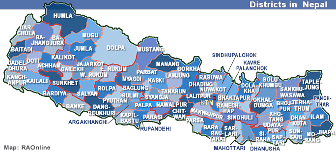
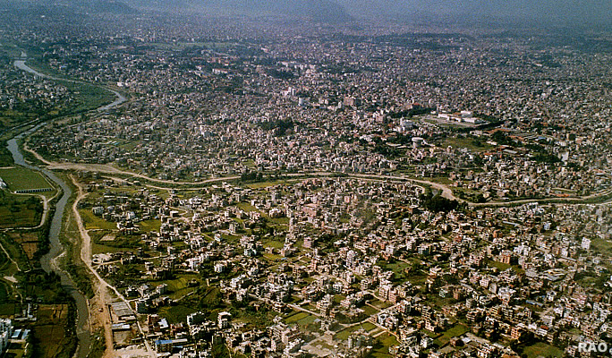
The
Kathmandu Valley is located in the Central Development Region of Nepal,
a landlocked country of approximately 26.4 million people situated in the
eastern Himalayas. It is the site of the capital city, Kathmandu, and several
other major towns. The valley itself is relatively small - approximately
570 square kilometres in area, thus comprising only 0.4% of the total land-surface
of the country - formed from a tectonic depression which was the bed of
a prehistoric lake.
 |
| The
soil is sedimentary, and highly unstable in the event of a seismic incident.
Encircled by mountains rising to nearly 3,000 metres above sea-level, the
valley floor is formed of small ridges, elevated flatlands, and low basins
drained by the Bagmati River and its tributaries. Four major passes offer
access to the valley, which is located more than 600 kilometres from the
nearest seaport, and respectively over two hundred and one hundred kilometres
by road from Nepal's land borders with India and China. |
|
The
valley is served by one international airport. The average elevation of
the valley floor is 1,340 metres above sea-level, and its climate is classified
as cool temperate, with temperatures ranging from 25 to 30 degrees Celsius
in summer and from 5 to 15 degrees Celsius in winter. Yearly rainfall is
over 2,000 mm, occurring mainly between June and September.
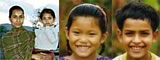
The
population of the Kathmandu Valley is currently (early 2008) estimated
at 2.3 million, or around 9% of Nepal's total population. Given the influx
of economic migrants from poorer parts of the country and - in recent years
- of persons displaced by conflict, the valley has one of the highest population
densities in Nepal - over 4,000 per square kilometre. Administratively,
the valley is divided into three districts - Kathmandu, Lalitpur, and Bhaktapur.
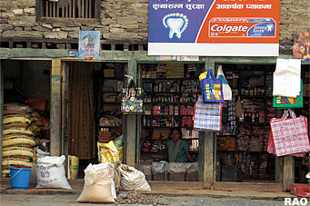
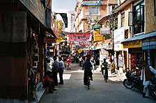
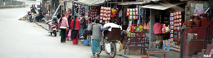
Kathmandu city itself forms the urban core of the valley, a vast area of
congested streets and virtually uncontrolled housing development, frequently
in the form of low-rise (four to five storey) apartment buildings. Heavy
traffic in Kathmandu itself, as well as in the other urban centres of Patan,
Thimi, and Bhaktapur clogs the narrow roads and generates intense air pollution.
Although the valley is well-served with rivers, most of the population
receives its drinking water from tanks stored on the roofs of buildings.
 |
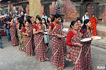
The
principal religions are Buddhism and Hinduism and the valley contains several
sites of major religious significance. Although service industries such
as tourism generate many jobs in the valley, unemployment is high, creating
a potential for social unrest; during recent political disturbances, Kathmandu
experienced outbreaks of street violence. While Nepalese society generally
displays some characteristics (e.g., strong family ties, a tradition of
civility, robust civil society structures, and firmly-held religious beliefs)
that would mitigate any disorder occurring in the aftermath of a major
disaster, political tensions and the rapid growth of the valley's urban
population may have eroded these cultural constraints. An added complication
is the poor state of the country's economy, with over 24% of Nepalese living
on less than $1 per day, and an overall ranking of 142 (out of 175) in
the UN Human Development Index (HDI).
Source:
United Nations 2008
top
|
related
information |
|
|
|