|
 |
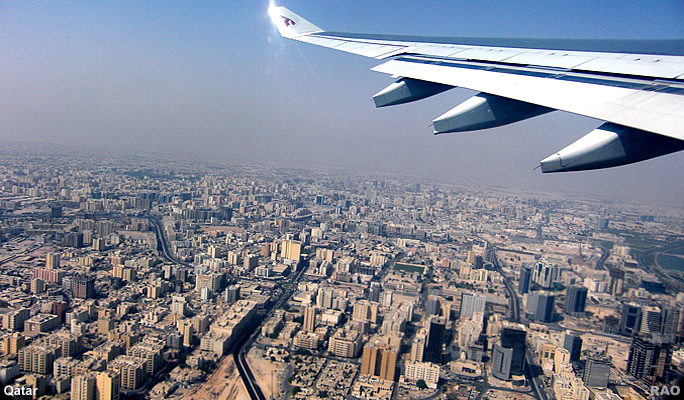
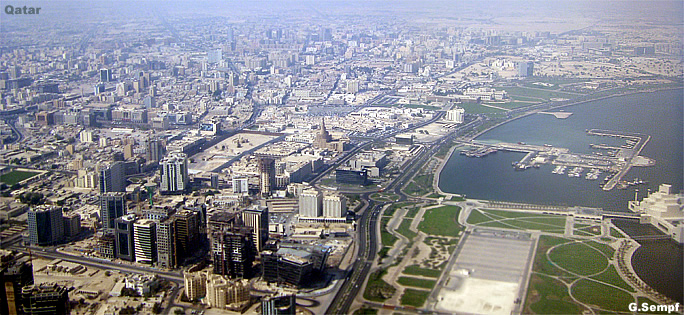
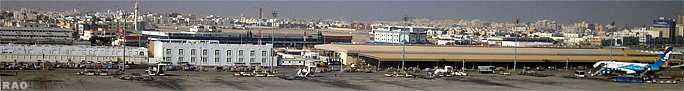
Qatar |
|
|
 |
It
is a Peninsula that extends northward covering an area of 11, 437 sq. km.
as well as a number of islands in the coastal waters of the peninsula.
The most well known of these islands are the Hawar Archipelago, Halul which
is the main export terminal for the offshore oil fields, Al-Bashiria and
others.
The
terrain is generally flat. However, there are some hills and sand dunes
which reach an altitude of 40 meters above sea level in the areas of Dukhan
and Jebel Fuwairit in the western and northern parts of the country and
Khor Al-Udeid in the south. |
 |
The
surface of Qatar is characterized by a number of geographical features
which are peculiar to the west coast of the Arabian Gulf.
Qatar
has a desert climate of hot summers and relatively warm winters.
 |
| In the
summer, the temperature ranges between 25 and 46 degrees centigrade. Rainfall
in the winter is minimal and on average does not exceed 75.2 mm per year.
The
Qatar is are descended through ancient Arabian lines of kinship. This is
due to the country's geographical location and proximity to the Arabian
Peninsula, on the one hand, and to the close historical heritage which
the State shares with the rest of the States of the Arabian peninsula,
on the other. |
|
top
| Links |
 |
 |
|
Externe Links |
top
| RAOnline: Weitere Informationen über Länder |
|