|
|
 |
|
|
|
|
|
|
|
|
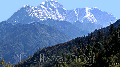
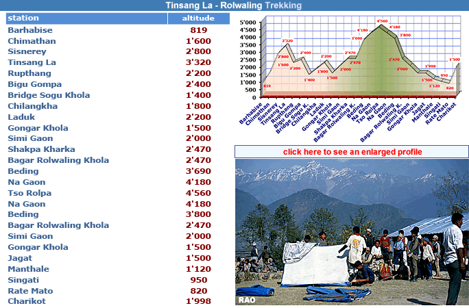
| Rolwaling Trekking |
|
|
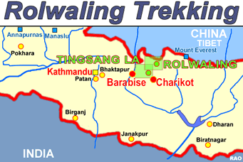
| Rolwaling Trekking area | Rolwaling Trekking map |
 |
 |
| Click on the map to get an enlarged picture. |
 |
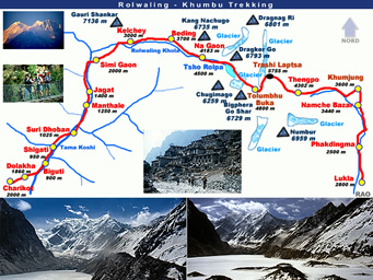
| Rolwaling Trekking route |
 |
 |
|
|
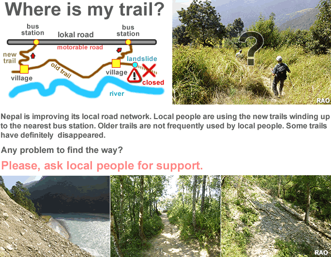
| new roads |
|
| Download |
|
| more Information |
|
|
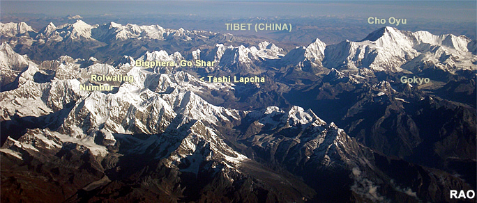 |
| Rolwaling - Gokyo |
|
|
|
 |
| more information and pictures |
|
|
|
|
|