start
of trekking
Beginn |
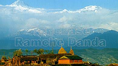
Pokhara
 |
end
of trekking
Ende |
Pokhara |
transports
Transporte |
Pokhara
e.g. |
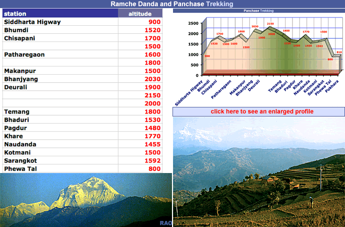
lowest
point
tiefster Punkt |
Pokhara
800 m a.s. |
highest
point
höchster Punkt |
Aaleauchki
Danda 2000 m a.s. |
checkposts
Kontrollposten |
no |
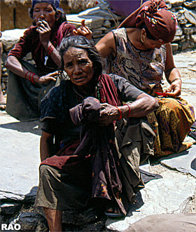
lodging
Unterkünfte |
Pokhara,
Bhanjyang, Bhadaure, Naudanda, Deurali, Raniswara, Sarangkot
and
more possibilities |
food
Nahrung |
Pokhara,
Bhadaure, Naudanda
and
more possibilities |
camp
grounds
Zeltplätze |
Bhumdi,
Bhanjyang, Bhadaure, Sarangkot, Pokhara |
river
crossings
Flussüberquerungen |
only
small rivers, no problems |
places
of interest
Sehenswürdigkeiten
| - |
monasteries
Klöster |
on
the trek: we haven't seen any gompa |
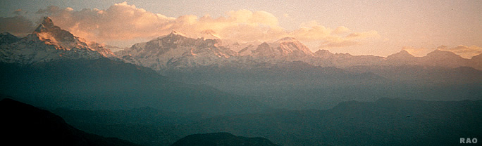
view
points
Aussichtspunkte |
there
are a lot of view points.
Bhumdi,
Bhanjyang, Deurali, Sarangkot |
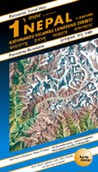
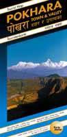
maps
Karten |
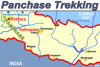
POKHARA
Town & Valley
Tourist
Map / Touristenkarte
Scale
Valley 1: 50,000 / town 1:20,000/
lake
side 1:9,000
Karto
Atelier
www.karto-atelier.com
Swiss
made
AROUND
ANNAPURNA
Scale
1:125,000
HIMALAYA-KARTOGRAFISCHES
INSTITUT
|
|
| Day
1 |
Pokhara
- Siddharta highway (by bus)
bus
stop to Bhumdi |
| Day
2 |
Bhumdi
- Bhanjyang |
| Day
3 |
Bhanyjang
- Deurali |
| Day
4 |
Deurali
- Sarangkot (or Pokhara) |
| Day
5 |
Sarangkot
- Pokhara |
Very
useful maps
(
but: should be printed on better paper)
Order: www.karto-atelier.com
You
can buy these maps in Nepal too.
|
|