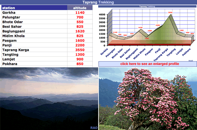
start
of trekking
Beginn |
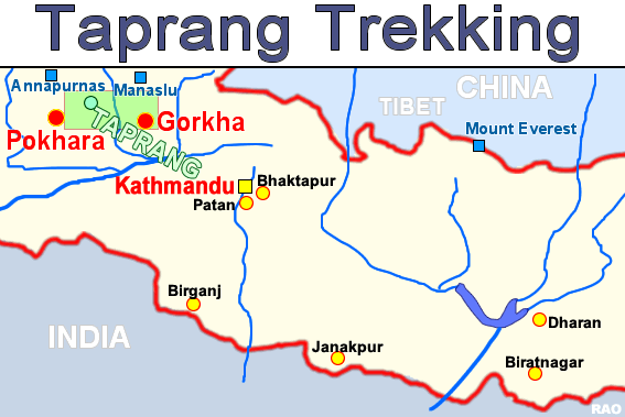
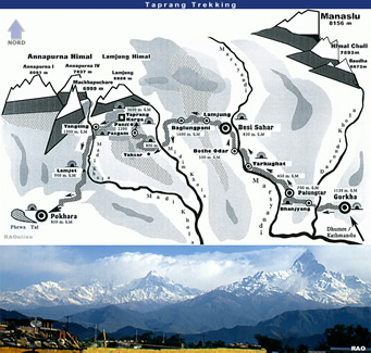
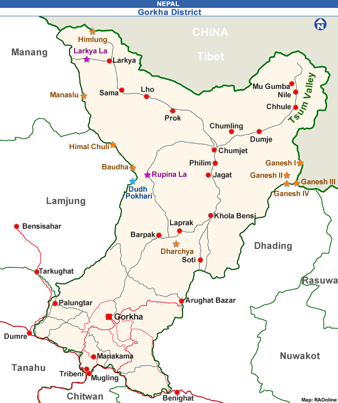
Gorkha
 |
end
of trekking
Ende |
Pokhara |
transports
Transporte |
Kathmandu
- Gorkha
Pokhara
- Kathmandu |
lowest
point
tiefster Punkt |
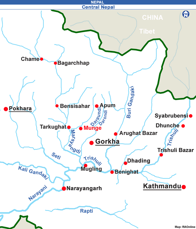
Tarkughat
(Marsyangdi riverside) 550 m as |
highest
point
höchster Punkt |
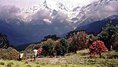
Taprang
Kharga (3900 m as)
(Taparang
Dharamshala 3500 m as) |
checkposts
Kontrollposten |
no |
lodging
Unterkünfte |
Gorkha,
Besi Sahar, Pokhara
more
possibilities in the Marsyangdi valley |
food
Nahrung |
Gorkha,
Besi Sahar, Pokhara
more
possibilities in the Marsyangdi valley |
camp
grounds
Zeltplätze |
Gorkha,
Besi Sahar, Pokhara
more
possibilities in the Marsyangdi valley |
river
crossings
Flussüberquerungen |
by
bridges
smaller
rivers by feet, no problems |
places
of interest
Sehenswürdigkeiten
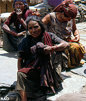
| Gorkha |
monasteries
Klöster |
- |
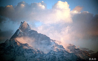
view
points
Aussichtspunkte |
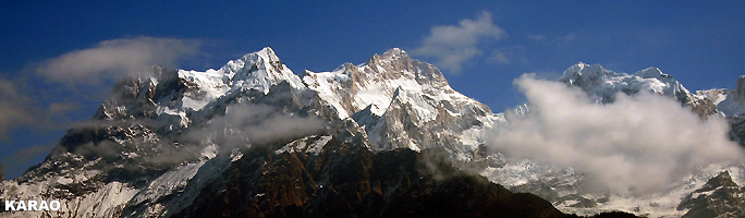
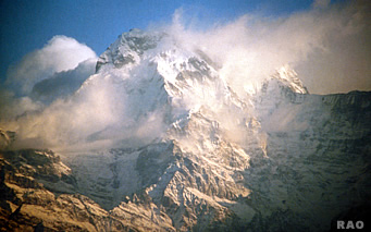
Ghanpokhari,
Taprang Kharga |
special
tour
spezielle Tour |
- from
Besi Sahar to Manang (around Annapurna)
- from
Besi Sahar to Thonje and Larkja La (around Manaslu)
- from
Taprang to Chame, Marsyangdi valley, crossing Namun Bhanjyang (5560 m as) |
maps
Karten |
AROUND
ANNAPURNA
Trekking
routes
HIMALAYA,
Kartographisches Institut
Scale
1: 125.000
MANASLU
the
high route around Manaslu
NEPAL
MAPS
Scale
1: 125.000y
all
maps available in Kathmandu
|