|
Nepal's
Nature Earthquakes |
| Earthquake in Nepal on 12 May 2015 |
| Dolakha District M 7.3 quake |
|
|
 |
| April 2015: A M 7.3 earthquake struck Nepal |
| Epicentral Region is in Dolakha District |
 |
A new earthquake measuring 7.3 magnitude struck Nepal on 12 May 2015 at 12:50 local time (UTC +5:45). The epicenter was north of Charikot (Dolakha district) northeast of Kathmandu and southeast of Kodari (Sindhupalchowk district) - in an area already affected by the 25 April 2015 quake.
The initial quake was followed by several aftershocks including a 5.6 magnitude tremor with the epicenter in Kodari and a 6.3 magnitude one with the epicenter in Ramechhap district.
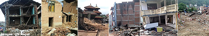
According to the Government, 31 out of Nepal’s 75 districts have been affected by the 12 May 2015 earthquake. Sindhupalchok district, the worst-affected district by the initial earthquake, is expected to be further severely affected, as is Dolakha. Reports are also coming in of injured people and damaged.
The earthquake caused some panic and many people fled to and remain in open spaces.
Several major landslides have been reported in Sindhupalchok and Dolakha.The 12 May 2015 earthquake is expected to further limit access to remote areas. Phone lines in Kathmandu are congested but functioning. The Kathmandu Airport is temporary closed.
The area affected by the 12 May earthquake is prone to landslides which may further block roads and make transport difficult. The weather before the new earthquake and in the following days is a concern. Heavy rain affects those living in tents that lost their homes. Landslides were reported in Langtang Region in the Himalayas. Many areas around the epicenter are particularly susceptible to landslides.
As of 16:00 local time (UTC +5:45), there are reports so far of 24 people dead from Kathmandu, Sindhupalchok, Dolakha and Sindhuli and another 543 injured. 5 people were reported rescued in Charikot.
|
| Sources: UNOCHA and CDIR, 12 May 2015 |
 |
Initial Quake and Aftershocks - Details
provided bySwiss Seismological Service (SED) (ETH Zürich Schweiz) |
12 May 2015 07:05:19 UTC
M 7.8
Depth: 15 km |
12 May 2015 07:17:20 UTC
M 5.6
Depth: 10 km
|
12 May 2015 07:34:24 UTC
M 5.3
Depth: 10 km |
12 May 2015 07:36:53 UTC
M 6.3
Depth: 15 km |
12 May 2015 08:21:10 UTC
M 5.4
Depth: 10 km |
|
 |
| Earthquake Details |
provided byUnited States Geological Survey (USGS) |
| Magnitude |
7.3 |
| Date - Timet |
12 May 2015 07:05:19 UTC |
| Location |
27.837°N , 86.077°E |
| Depth |
15 km |
| Region |
NEPAL Dolakha |
| Distances |
18km SE of Kodari, Nepal
59km ENE of Banepa, Nepal
62km ENE of Panaoti, Nepal
76km ENE of Kathmandu, Nepal
77km) ENE of Patan, Nepal |
|
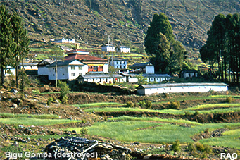
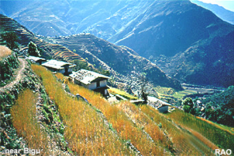
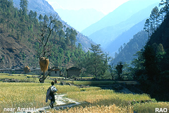
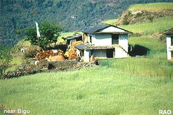
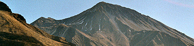
| Nepal Trekkings in Tama Koshi Valley Region (Dolakha District) |
| Information und Images from Dolakha Distrct |
|
 |
| Links |
 |
 |
|
External link |
|