|
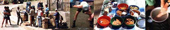
Nepal Trekkings |
|
|
 |
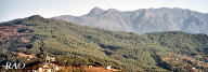
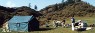
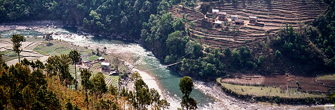
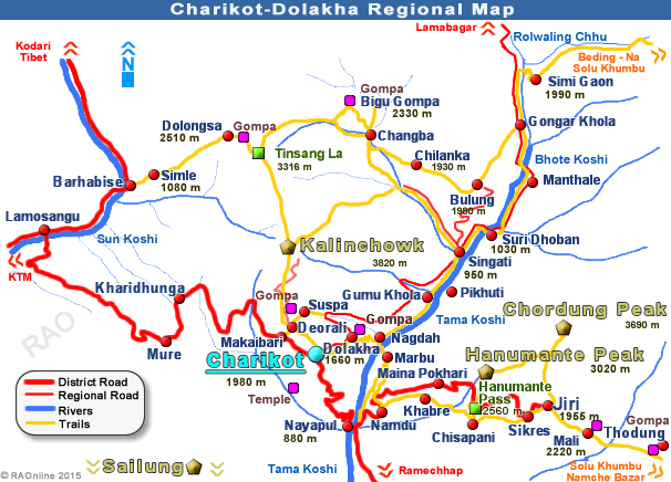
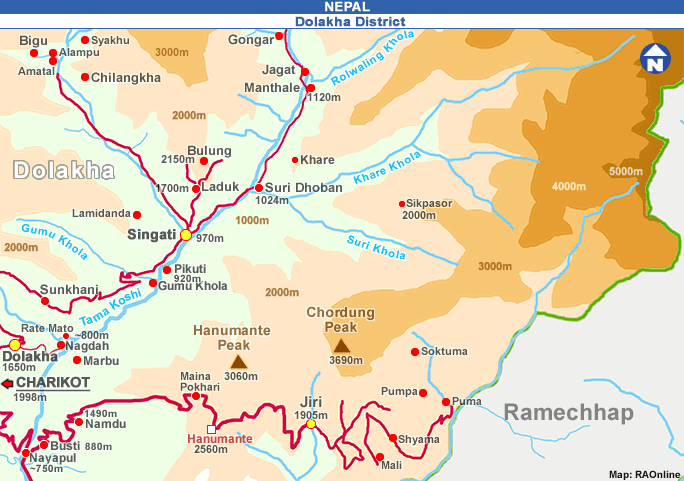
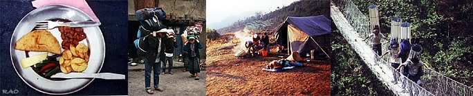
| Hiking and Trekking around Charikot |
Charikot (Bhimeshwor Municipality, Dolakha district) is about 6 hours' drive from Kathmandu via Arniko
Highway crossing the Bhote Koshi river bridge at Dolalghat and turning east by crossing the Sun Koshi river.
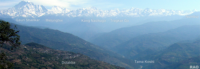
Charikot is situated at 2,000 m altitude from sea level
and 1,000 m above the Tama Koshi river valle with spectacular views of the Numbur Himal with range to Gauri Shankar. This
town is famous for old traditional Bhimeshwor
temple and old Newar society. The visit is worthwhile and it broadens
one's feeling about culture and people.
| more information |
 |
top
| more information on Nepal |
 |
|