| start
of trekking |
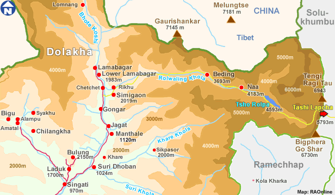
Barabise |
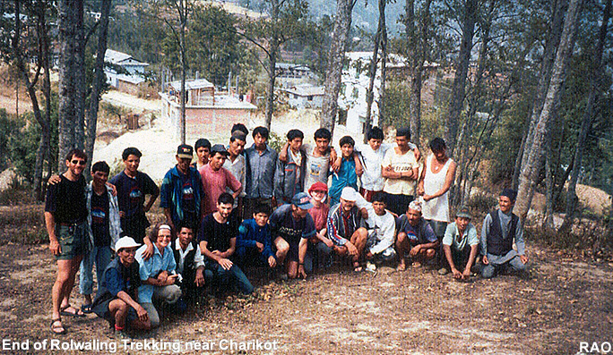
| end
of trekking |
Charikot |
| transports |
bus
Kathmandu to Barabise
bus
Charikot to Kathmandu |
| lowest
point of trek |
Barabise
820 m a.s. |
| highest
point of trek |
Tso
Rolpa (Lake) 4534 m a.s. |
| checkposts |
- |
| guesthouses,
lodging |
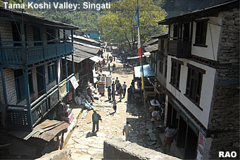
Barabise,
Bigu, Singati, Gongar Khola, Simi Gaon, Beding, Singati, Biguti, Dolkha, Charikot
and
more possibilities |
| food |
available
in Barabise, Singati and in several shops bothsides of the trek |
| camp
grounds |
Simle
Gaon, Dolangsa, Tinsang La, Bigu, Charikot, Singati, Gongar Khola
and
more possibilities |
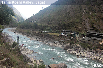
| river
crossings |
by
suspension bridges |
| mountain
passes |
Tinsang
La 3350 m a.s. |
| places
of interest |
Barabise,
Beding, Dolkha, Charikot |
| monasteries |
Gompa
in Dolangsa
Gompa
in Bigu
Gompa
in Na |
| view
points |
Tinsang
La, Bigu, Laduk, Simi Gaon, Tso Rolpa, Charikot |
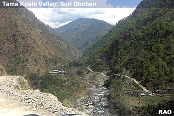
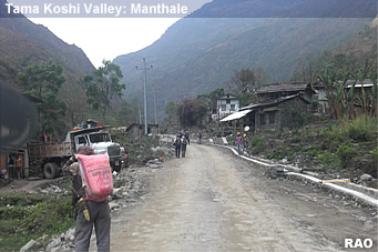
| roads |
there are new motarable roads from Barabise to Tinsang La
and from Charikot to Singati and Manthale |
 |
The Upper Tamakoshi Hydro Project in Gongar and Lamabagar is connected by a dirt road |
| development |
Tama Koshi Hydroelectric Project |
|